


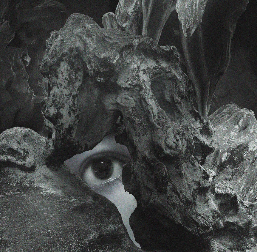
Ground Truth, or How to Resurrect a Tree illustrates the state of ‘seeing something when there is none.’ Following the quest of a group of scientists in Finland striving to develop a better interpretation model of satellite data, this project explores cutting-edge imaging techniques of forests while looking back at photography’s love affair with natural landscapes.
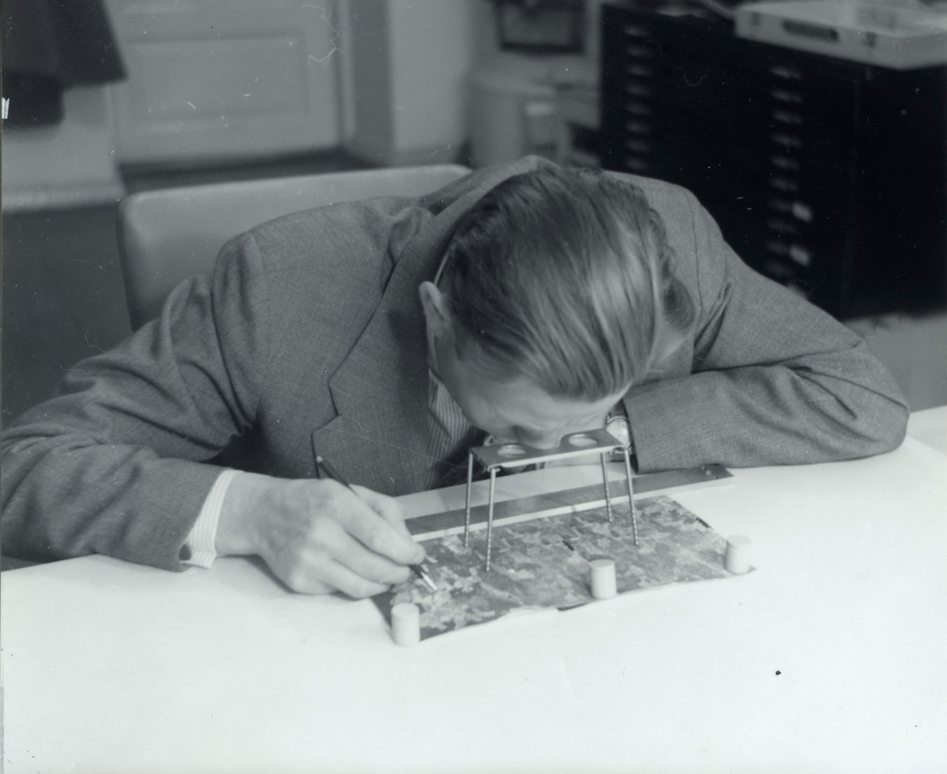
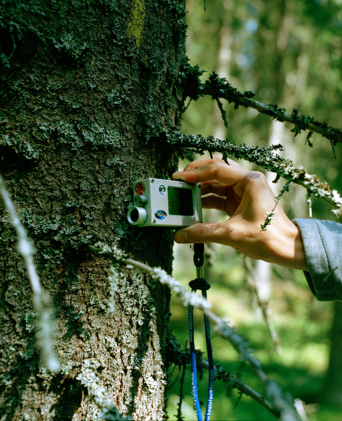
Using meticulous on-site measurements of physical structures and spectral properties of trees, researchers develop reliable predictive models. Ground truth data is often compared to experimental results to verify the performance of a model, the success of which allows mankind to distinguish various features of the Earth beyond what is shown optically in a satellite image.
A computer-aided vision grants us the ability to exceed the resolution limit of the extraterrestrial apparatus, to resurrect a tree from the data collected by satellites. Powered by advanced imaging technologies and algorithms, seeing is more abstract than ever.
Curated by He Yining

Related

10th SIPF Open Call 2026
The Singapore International Photography Festival (SIPF) is opening the call for image-based works and photobook publications for its 10th biennale…
surface+orifice
Art collective xss examines the historical conflict between the woman body and sin. The feminine flesh is draped over weathered…